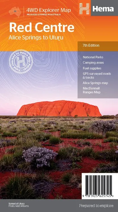
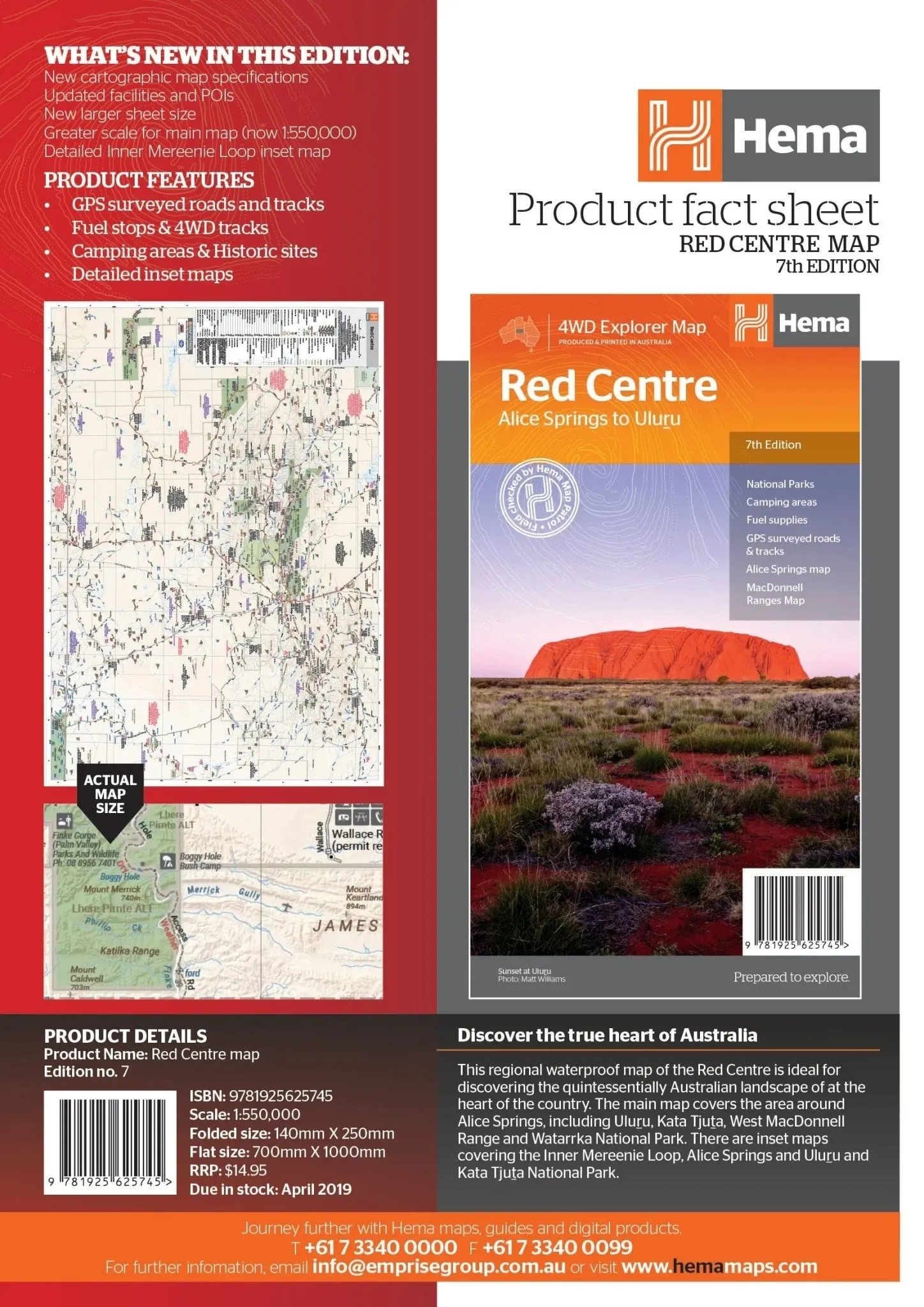
Red Centre Waterproof Map 7th Edition
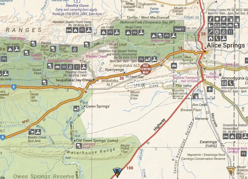
Experience the quintessential Australian landscape with the Red Centre Waterproof Map, 7th Edition. This detailed regional map is your perfect guide to exploring the iconic heart of Australia. Covering Alice Springs, Uluru, Kata Tjuta, the West MacDonnell Range, and Watarrka National Park, it provides essential information to navigate this unique and awe-inspiring region.
Features
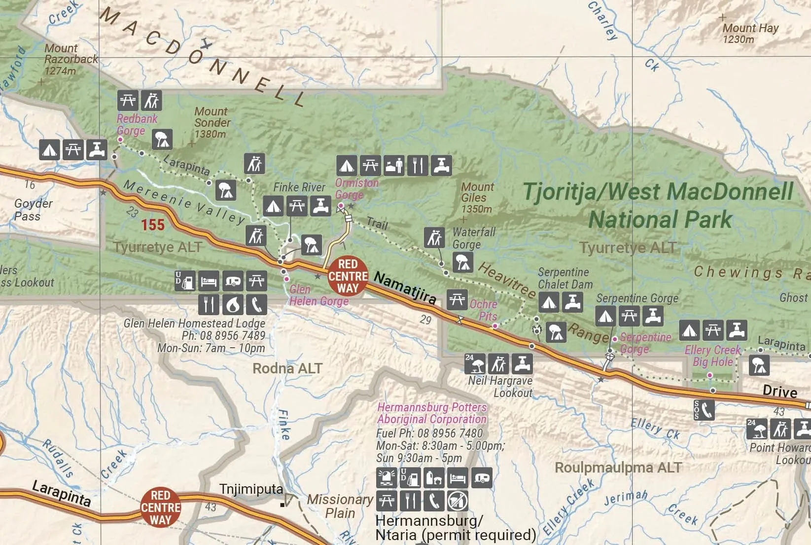
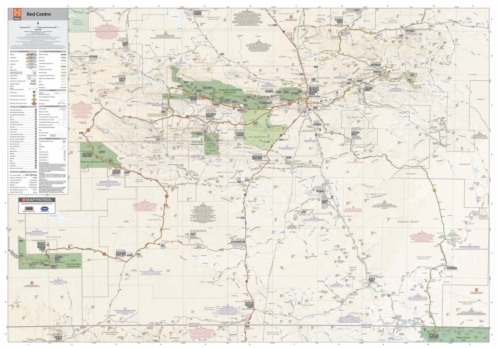
- Detailed main map covering Alice Springs, Uluru, Kata Tjuta, West MacDonnell Range, and Watarrka National Park.
- GPS surveyed roads and 4WD tracks for precise navigation.
- Highlights fuel stops, camping areas, and historic sites.
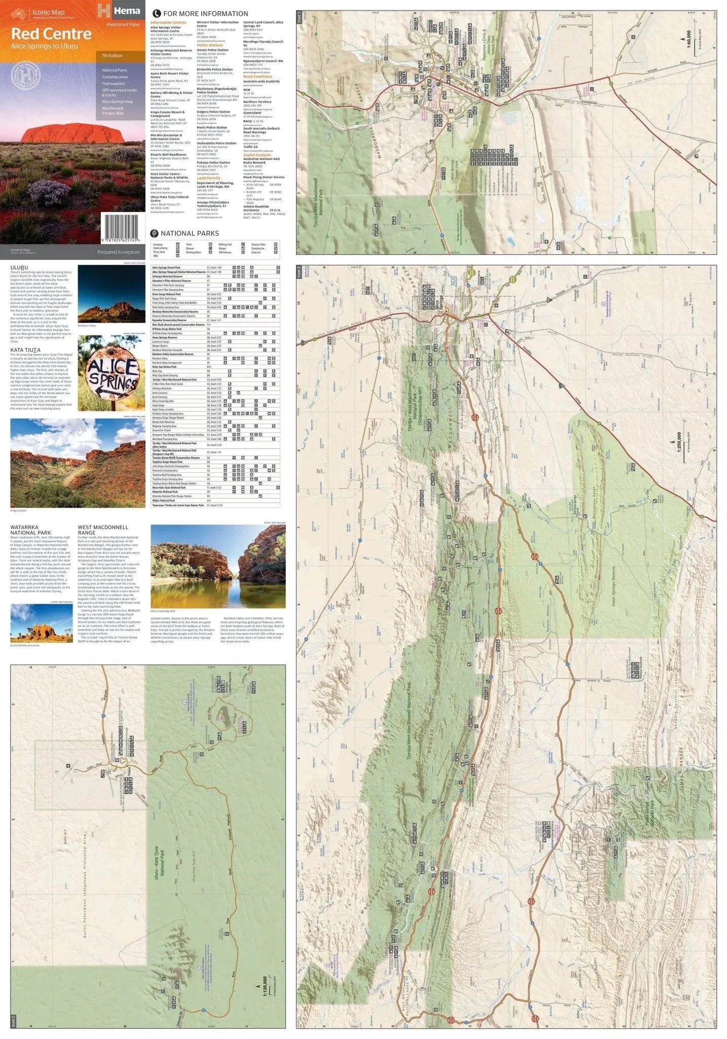
- Includes detailed inset maps for a closer look at key areas.
- Additional information on permits, useful contacts, and historical context for popular tourist destinations.
- Waterproof design ensures durability for outdoor adventures.
Specifications
- Edition: 7th
- Publication Date: 15/04/2019
- Scale: 1:550,000
- Folded Size: 140mm x 250mm x 3mm
- Flat Size: 700mm x 1000mm
- Weight: 0.09kg
The Red Centre is a breathtaking region, featuring iconic landmarks and rugged natural beauty. Whether you're hiking the trails of Watarrka National Park or marvelling at the majesty of Uluru, this waterproof map is an essential companion for your journey.


